Spåtind 1414 masl
Facilities
Duration
- 4 hours
Grading
- medium
Nature and terrain
- mountain
- total ascent
Season
- august
- july
- june
- september
You are here Things to Do > Spåtind 1414 masl
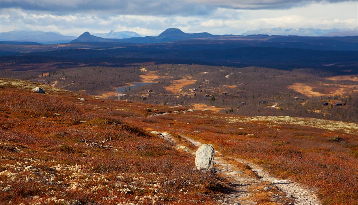
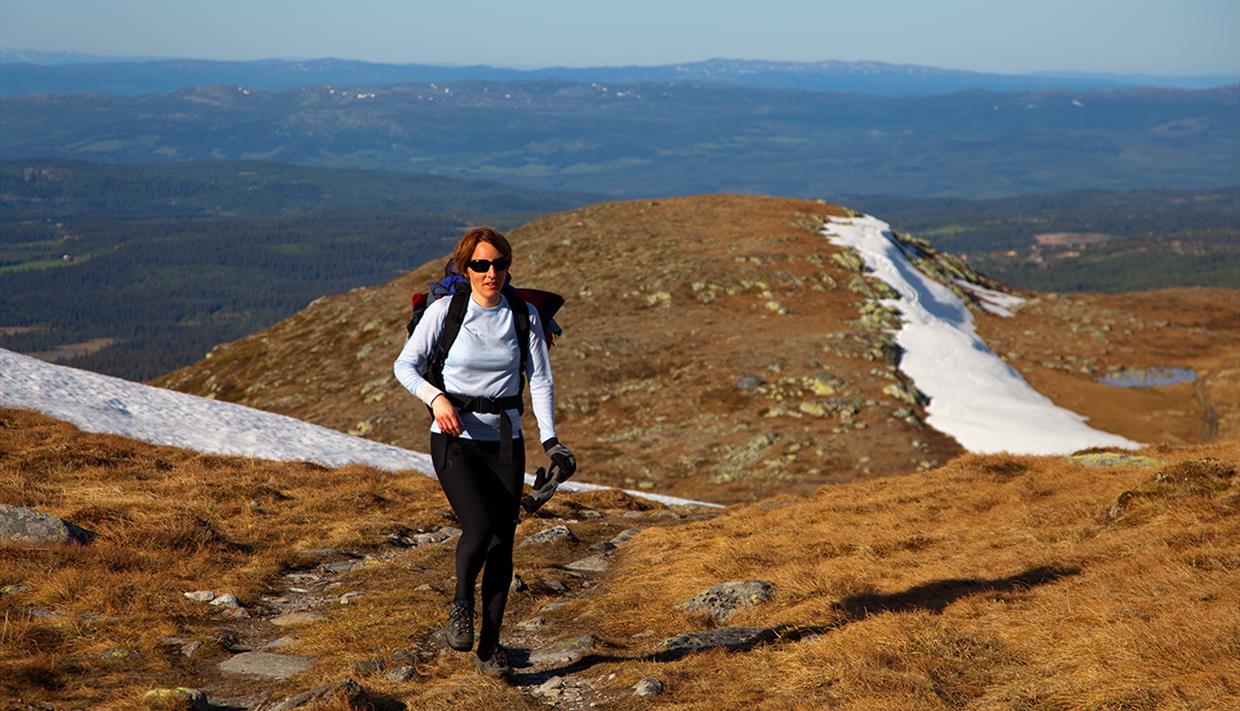
Spåtind is the highest point on the Synnfjell massif and in the Etnedal county and a popular, easy hike with a great and wide view.
Length: ca. 6 km one way
Duration: ca. 2−2,5 hrs up
Elevation gain: ca. 550 meters
Suitable for children: medium
GPS-coordinates starting point (Feplassen) 32v 537340 6772335
GPS-coordinates starting point (Fjellsætri) 32v 540028 6767914
GPS-coordinates summit 32v 542602 6771620
Directions (Feplassen and Lenningen):
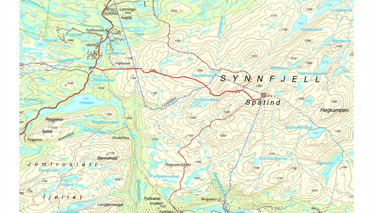
From Fagernes, follow the road towards N. Etnedal, and continue in the direction of Lillehammer to Feplassen. Parking pockets along the road for 4–5 cars. Approx. 150 m back south along the road the marked trail starts and leads via the high point 1197 m.a.s.l. (view) to the top.
Instead of starting at Feplassen, you also can drive approx. 3 km further towards Lenningen (GPS parking 32v 537913 6774656) and hike along the DNT-Route towards Hugulia which leads over the summit of Spåtind. It is marked with red T's.
Directions (Gamlestølen/Fjellsætri):
Alternatively, from Etnedal by Flatøydegard, continue towards Lillehammer to Rust, and turn right towards Bakkebygda and Gamlestølen. From Gamlestølen there is a toll road. Drive to Fjellsætri where there’s a parking area. Follow a marked trail which is clear and easy to find.
Lenningen Løypelag grooms cross country skiing trails around Lenningen Fjellstue. In…
The region between Gausdal and Valdres has had several names, such as Gausdal Vestfjell…
Lake Sebu-Røssjøen is renowned as a good fishing lake throughout the whole year. There's…
Djuptjernkampen is on the border of the three municipalities Nordre Land, Gausdal and…
This cross country skiing loop is 23.2 km and fits experienced and trained cross country…
Langtjedn is a small nature reserve which is easily accessible from the road near…
Reinehamaren is an easy shorter hike in the Langsua National Park on a partly marked and…
Length: ca. 2 km one way Duration: ca. 45 min up Elevation gain: ca. 180 m (270 m from…
Fish species: trout Fishing in Lake Fullsenn is probably best by boat, however there are…
37 km - This circuit in North-Etnedal makes a moderate daytrip for less experienced…
Fish species: trout, perch
Fishing licences for rod and trolling/otterboard is…
Tour description Length: approx. 2.5 km one way Duration: approx. 45 min. up Elevation…
19 km (13,5 km) - Steinsetfjorden rundt is a nice cycling tour in Nord-Etnedal. It partly…
Length: approx. 3.5 km one way Duration: approx. 1 hr. up Elevation gain: approx. 200…
Length: approx. 2.5 km one way Duration: approx. 1 hr. up Elevation gain: approx. 200…
Espelifjellet is a very short and easy hike for everyone, with a beautiful view over…
Visit Valdres AS
Jernbanevegen 7
2900 Fagernes
Tel: (+47) 401 89 118
info@visitvaldres.no
Valdres Natur- og Kulturpark
Skrautvålvegen 77
2900 Fagernes
Tel: +47 61 35 94 50
post@valdres.no
© Visit Valdres and Valdres Natur- and Kulturpark 2025. All Rights Reserved


We are now retrieving your search results. Please wait.


Please wait, this may take up to 30 seconds
![]()
Supporting the Destination
![]()
Quality Guarantee
![]()
Secure Transactions
We are now retrieving your search results. Please wait.


