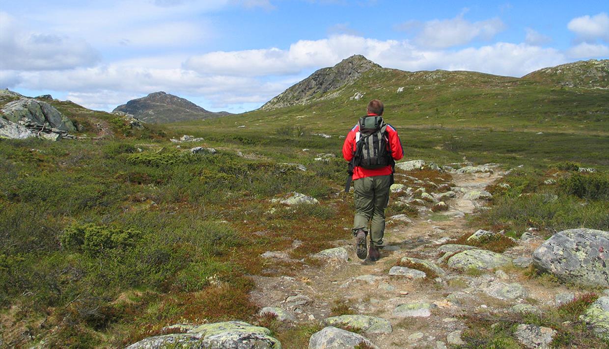
Djuptjernkampen 1325 masl
About
Djuptjernkampen is on the border of the three municipalities Nordre Land, Gausdal and Nord-Aurdal, being the highest elevation of the latter. Fairly easy, but partly unmarked trail.
Directions
From Fagernes, follow the road to N. Etnedal and continue towards Lillehammer until approx. 2.5 km past Lenningen, where you find a rest- and parking area on the right. From here, follow the gravel road (closed for traffic) on foot to Tronhus. Here, a T-marked trail exits to the right and climbs steadily through montane forest to the open fell. A small summit called Solskiva is passed on the southern side, and approx. 500 m later an unmarked and not very clear path exits to the left. The crossing is marked with a cairn and a red T. Follow that unmarked trail to the summit of Djuptjernkampen, climbing up on its eastern shoulder. From the top, you can enjoy a far view over large parts of northern Valdres all the way to Jotunheimen.
Distance: approx. 7.5 km one way
Duration: approx. 2 hours one way
Elevation gain: approx. 350 meters
Recommended for childre from approx. 6-7 years
GPS-coordinates start 32v 538491 6777252
GPS-coordinates summit 32v 534013 6780438


