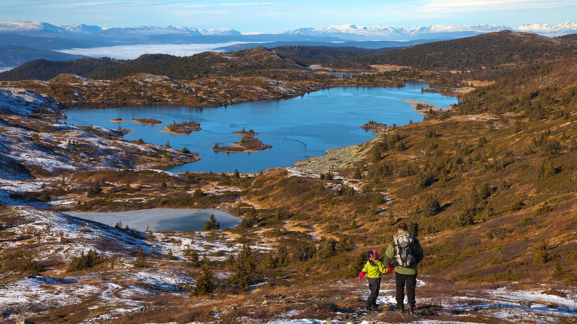
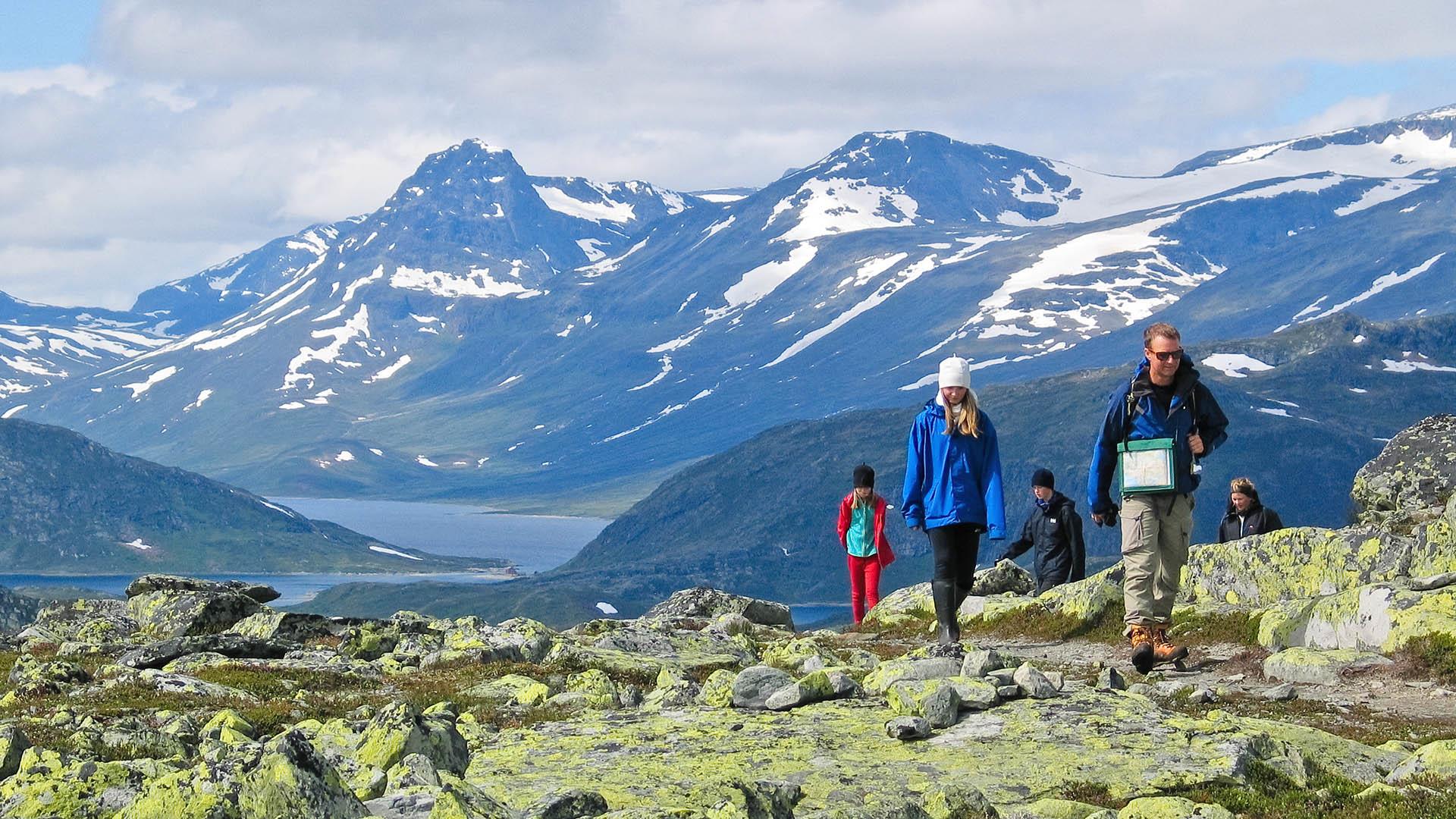
Number of results:
Number of results: 32
, currently showing 1 to 20.
Nøsakampen 1449 masl
Vang
Length: approx. 2.5 km one way Duration: approx. 1.5−2 hrs. up Elevation gain: 550 meters Suitable for children: from 5-6 yrs. GPS-coordinates…
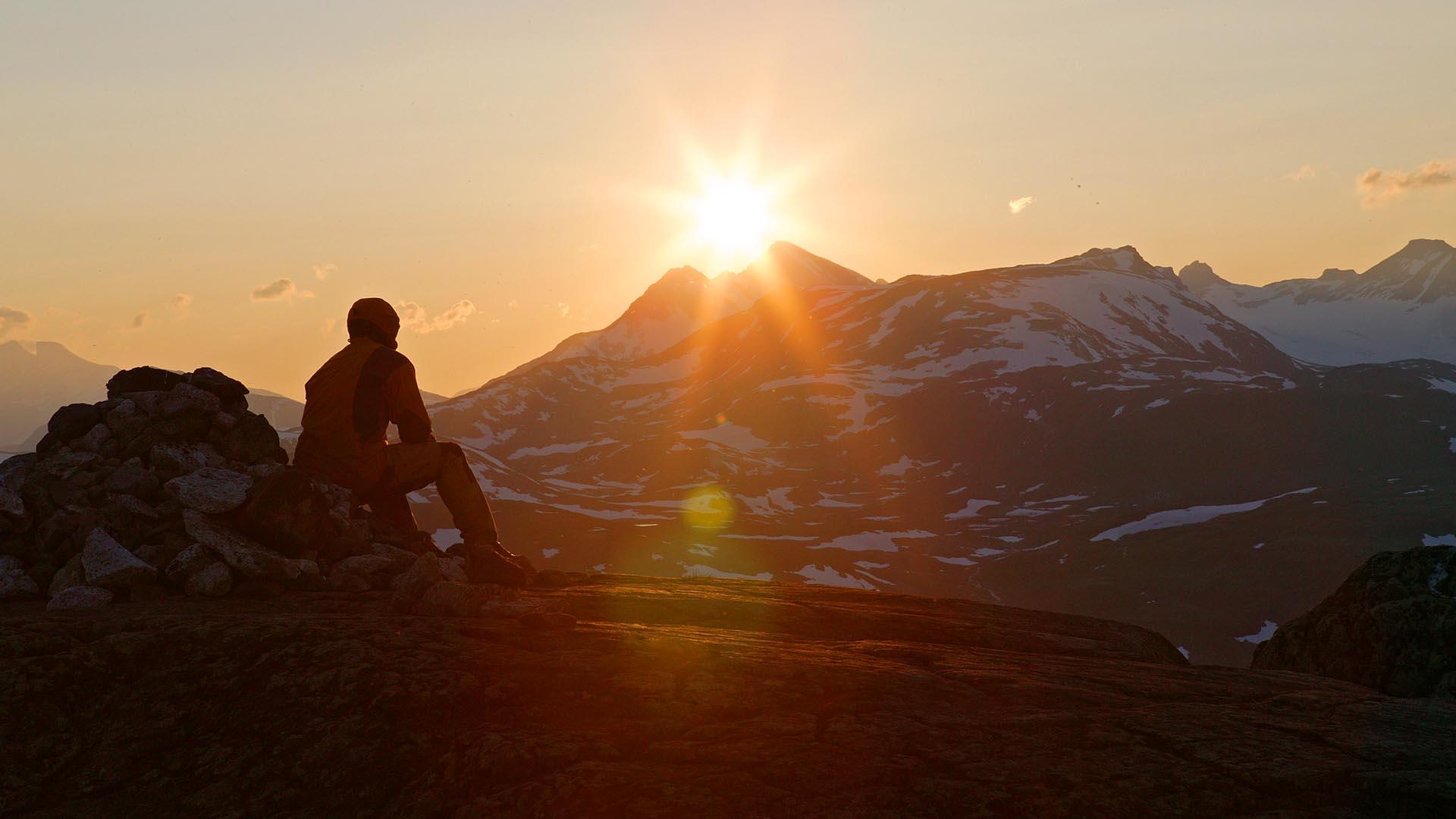
Skjøld/Bergsfjellet 1577 masl
Vang
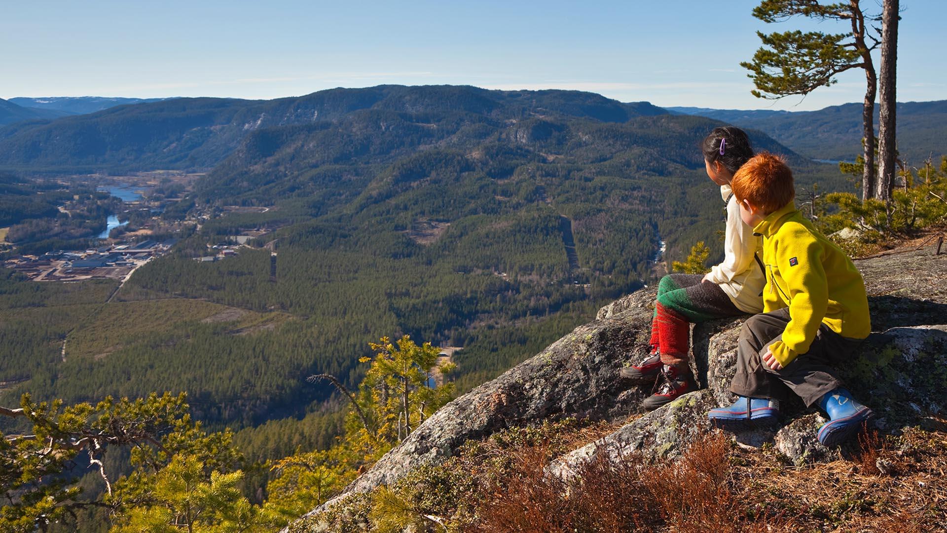
Hike onto a high plateau to an abyss with a breathtaking view down into the valley and to Jotunheimen's high peaks.
Length: ca. 4.5 km one way…
Espelifjellet 970 masl
Etnedal
Espelifjellet is a very short and easy hike for everyone, with a beautiful view over Etnedal.
Directions From Etnedal, drive up to Espelibygda…
Horntind (Hødntind) 1454 masl
Vang
Relatively easy hike with great view.
Length: approx. 5 km one way Duration: approx. 1.5 hrs. up Elevation gain: 400 meters Suitable for…
Goaren 1065 masl
Etnedal
Length: ca. 2 km one way Duration: ca. 45 min up Elevation gain: ca. 180 m (270 m from Tangen) Suitable for children: high Parking: at Klokkerlie or…
Puttekollen (Valdreshornet) 509 masl
Sør-Aurdal
Length: ca. 1,5 km one way Duration: ca. 45−60 min up (from trail head) Elevation gain: ca. 200 meters Suitable for children: high Parking: along the…
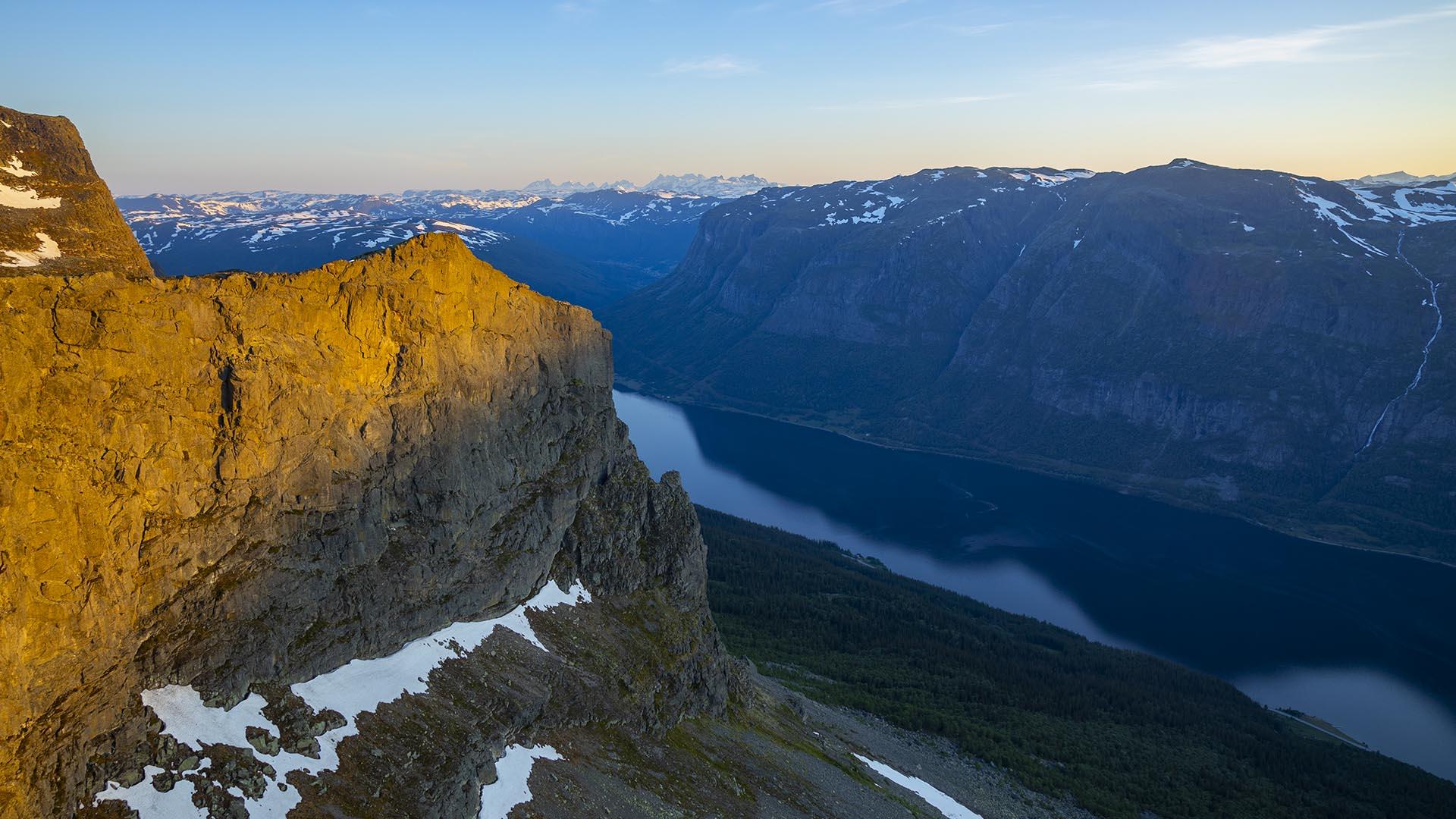
Fønhusstigen along the Kvervilljuvet
Sør-Aurdal
The Kverrvilljuvet is a fascinating gorge of the river Hølera. Length: ca. 2,5 km one way Duration: ca. 1−1,5 hrs up Hight difference: ca. 300…
Gråkampen 1595 masl
Vestre Slidre
Length: approx. 4 km one way Duration: approx. 2 hrs. up Elevation gain: 800 meters Suitable for children: from 7-8 yrs. GPS-coordinates starting…
Makalausfjellet 1099 masl
Sør-Aurdal
Makalaus is a child-friendly, fairly short and easy hike on open mountain terrain on the northern end of a mounain area that stretches south-east of…
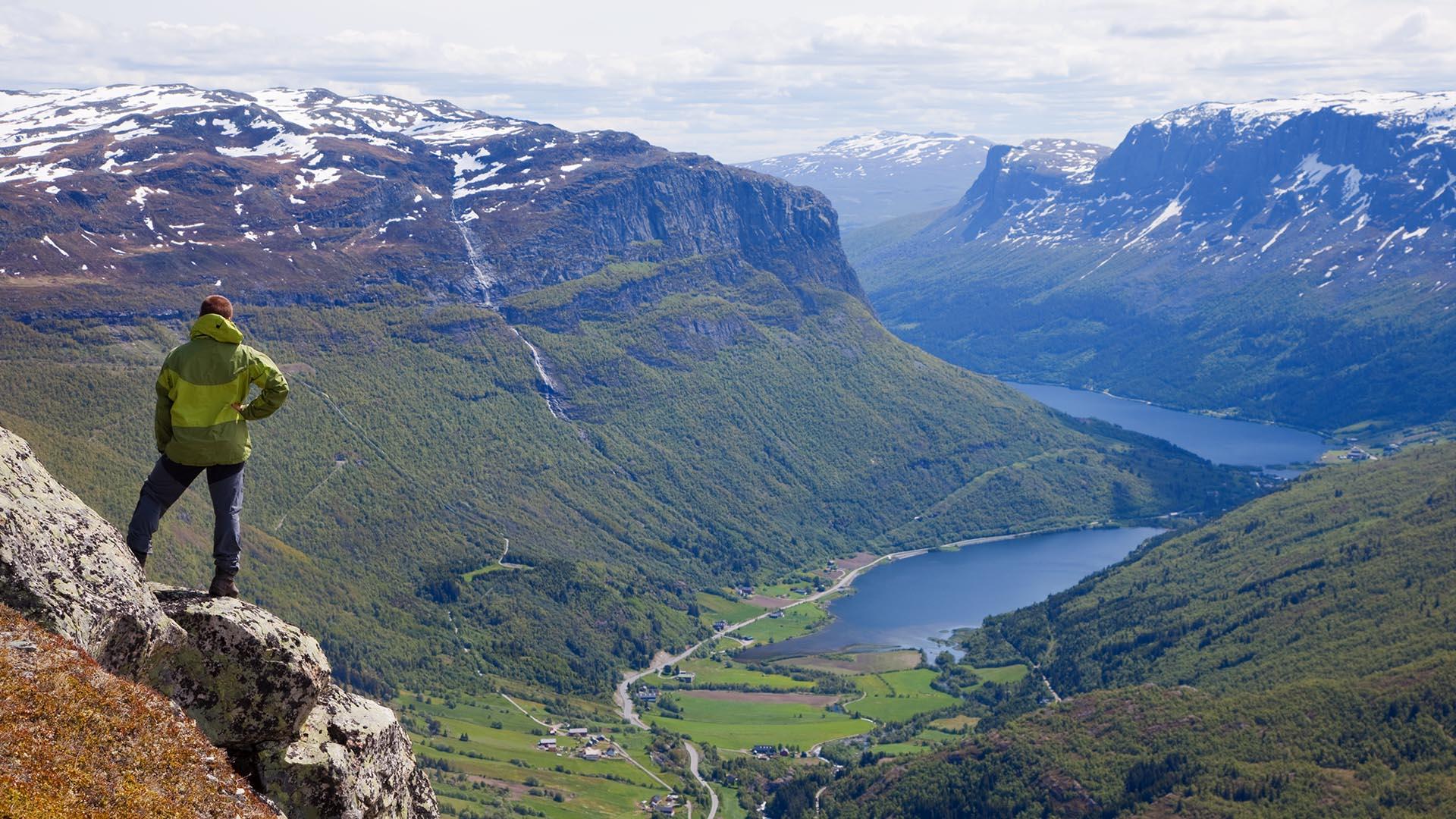
Gilafjellet 1582 masl
Vestre Slidre
Moderately demanding walking (no climbing or scrambling) ascent. Fine view over lakes and mountains. Botanical Conservation Area. In poor sight it is…
Bitihorn 1607 masl
Øystre Slidre
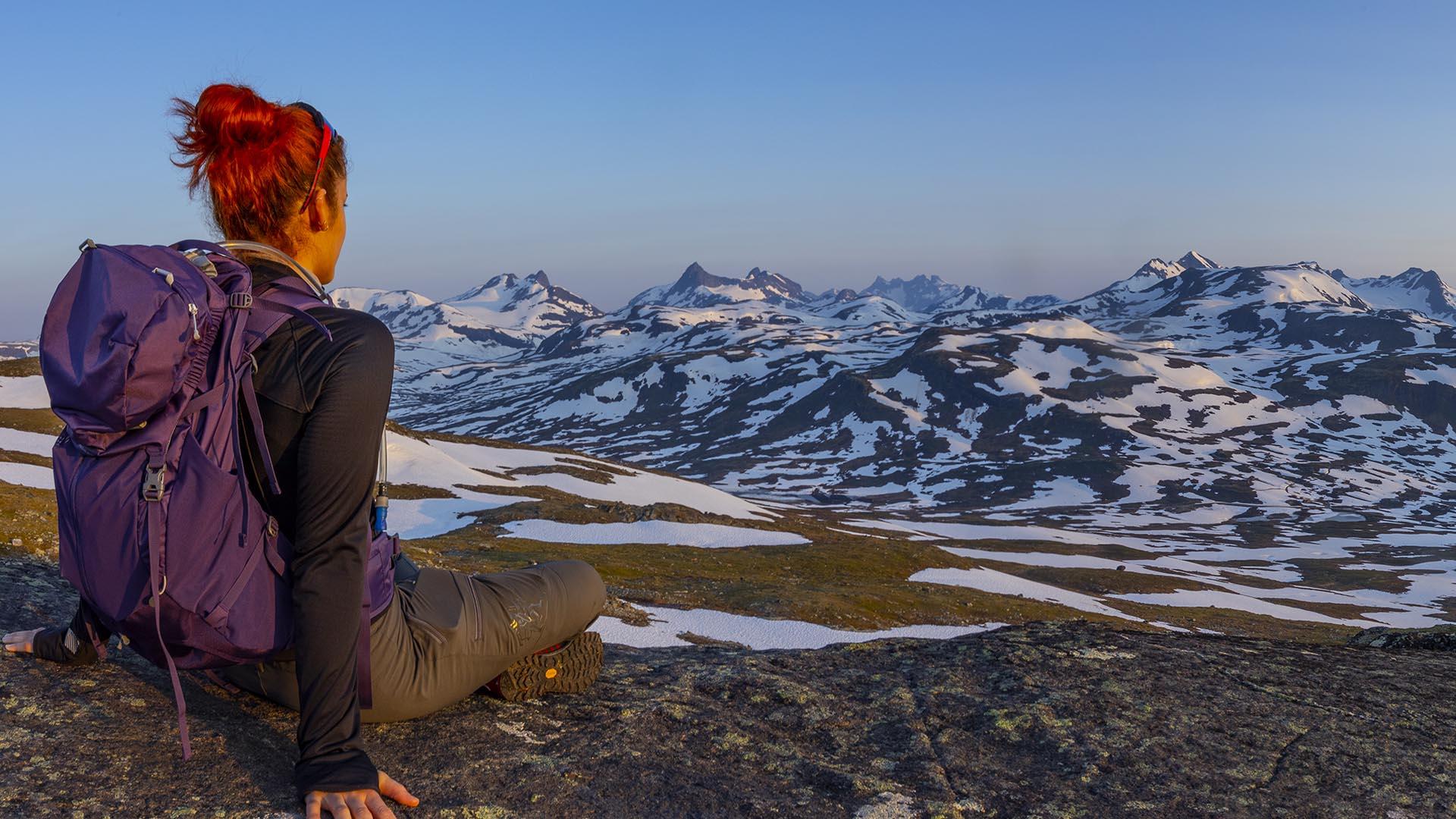
Moderately demanding walking (no climbing or scrambling) ascent. Highly rewarding view from the summit towards Jotunheimen and Valdres.
The historic Kings Road across Tonsåsen
Etnedal
Historical walk along King's Road over Tonsåsen
Length: ca. 7.5 km Duration: ca. 2,5−3 hrs Elevation gain: ca. 560 meters up Suitable for…
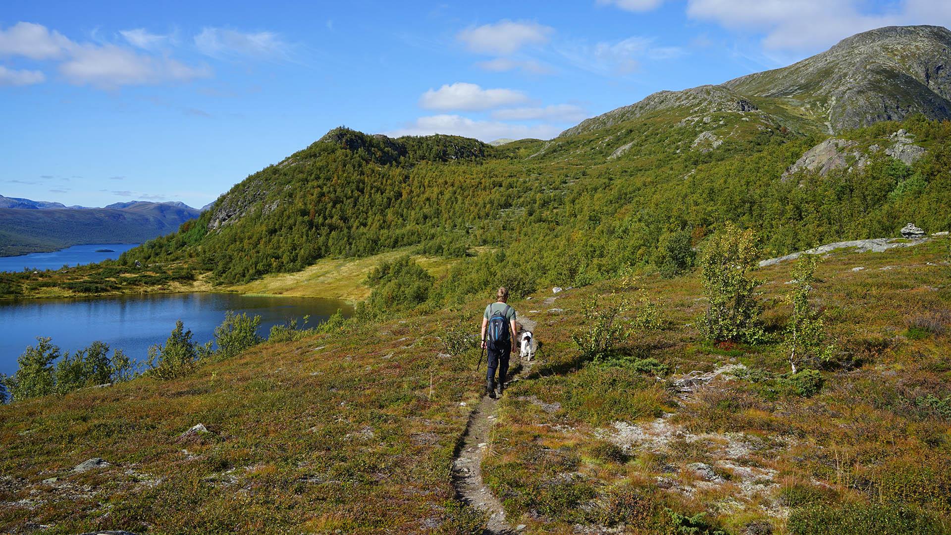
Beitostølen walking trails
Øystre Slidre
Recommended trails in Beitostølen
A number of trails were created by animals grazing in the hillside at a time when mountain farming still took…
Kviteberg 542 masl
Nord-Aurdal
Length: ca. 3 km total
Duration: ca. 1,5 hrs total
Elevation gain: ca. 210 meters
Suitable for children: medium−highParking: Fagernes centre,…
Potholes at Kvitingen hike
Sør-Aurdal
The Potholes near Lake Kvitingen, also called Gjøgerlaugitn, are a truly unique, different kind of nature experience. The hike is family friendly and…
Synet 1137 masl
Nord-Aurdal
From the E16, exit by the Ulnes church and follow the signs to Panoramavegen. After approx. 4.5 km of driving upwards in Hippesbygda, exit to the…
Gravolskampen (Heklefjellet) 1281 masl
Øystre Slidre
Length: approx. 3 km one way Duration: approx. 1 hr. up Elevation gain: 180 meters Suitable for children: from 3-4 yrs. GPS-coordinates starting…
Ørneflag 1243 masl
Sør-Aurdal
Ørneflagg is the southernmost top in Valdres and the highest point in Sør-Aurdal County.
Directions: From the South: Drive on E16 to Nes i Ådal…
Grønsennknippa 1368 masl
Vestre Slidre
Family friendly hike in easy mountain terrain on a clear path. Length: approx. 4 km one way Duration: approx. 1.5 hrs. up Elevation gain: approx.…
Mugnetinden 1739 masl
Øystre Slidre
Moderately demanding walking (no climbing or scrambling) ascent. Highly rewarding view from the summit towards Jotunheimen and Valdres. Tour…


Follow us on Facebook
Follow us on Instagram