Mugnetinden 1739 masl
About
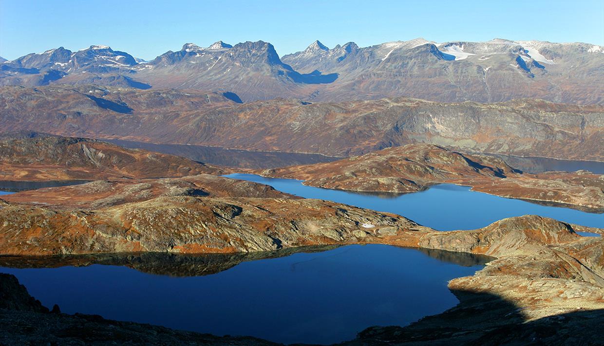
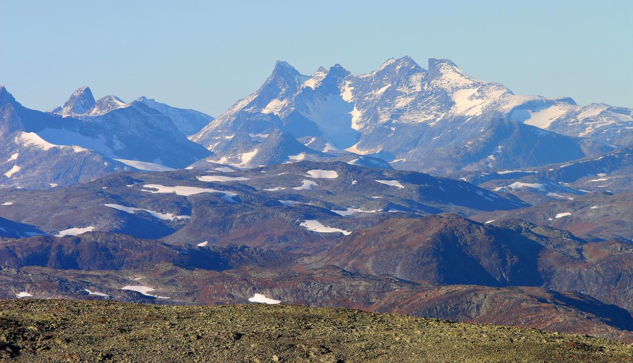
Moderately demanding walking (no climbing or scrambling) ascent. Highly rewarding view from the summit towards Jotunheimen and Valdres.
Tour description
Length: approx. 6 km one way
Duration: approx. 2.5–3 hrs. up
Elevation gain: ca. 750 meters
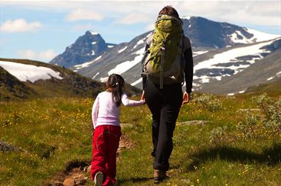
Suitable for children: from 8 yrs.
GPS-coordinates starting point 32v 485400 6789425
GPS-coordinates summit 32v 4811957 6790683
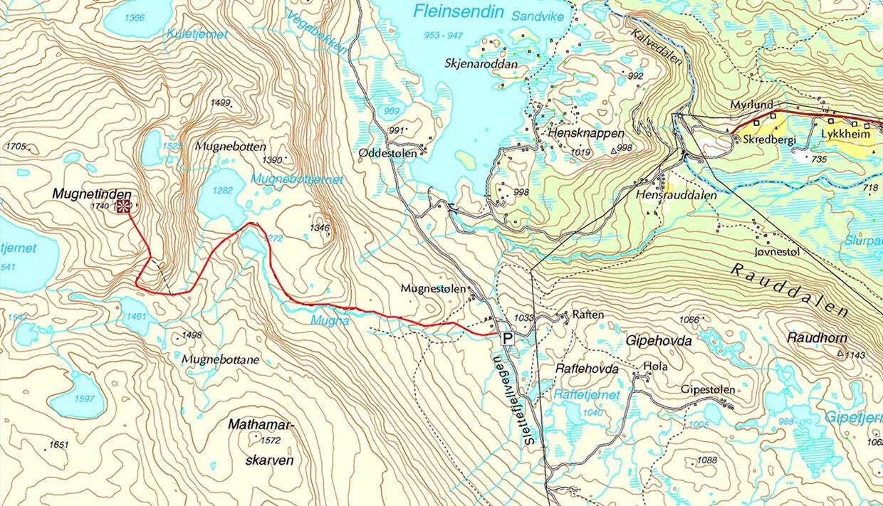
From Beitostølen, drive to Beito and follow the signs towards Slettefjellvegen (toll road). Drive past the toll station, continue past Fleinsendin and turn left at the intersection. Parking area on the left side of the road, near Mugnestølen, approx. 3.5 km from the toll station.
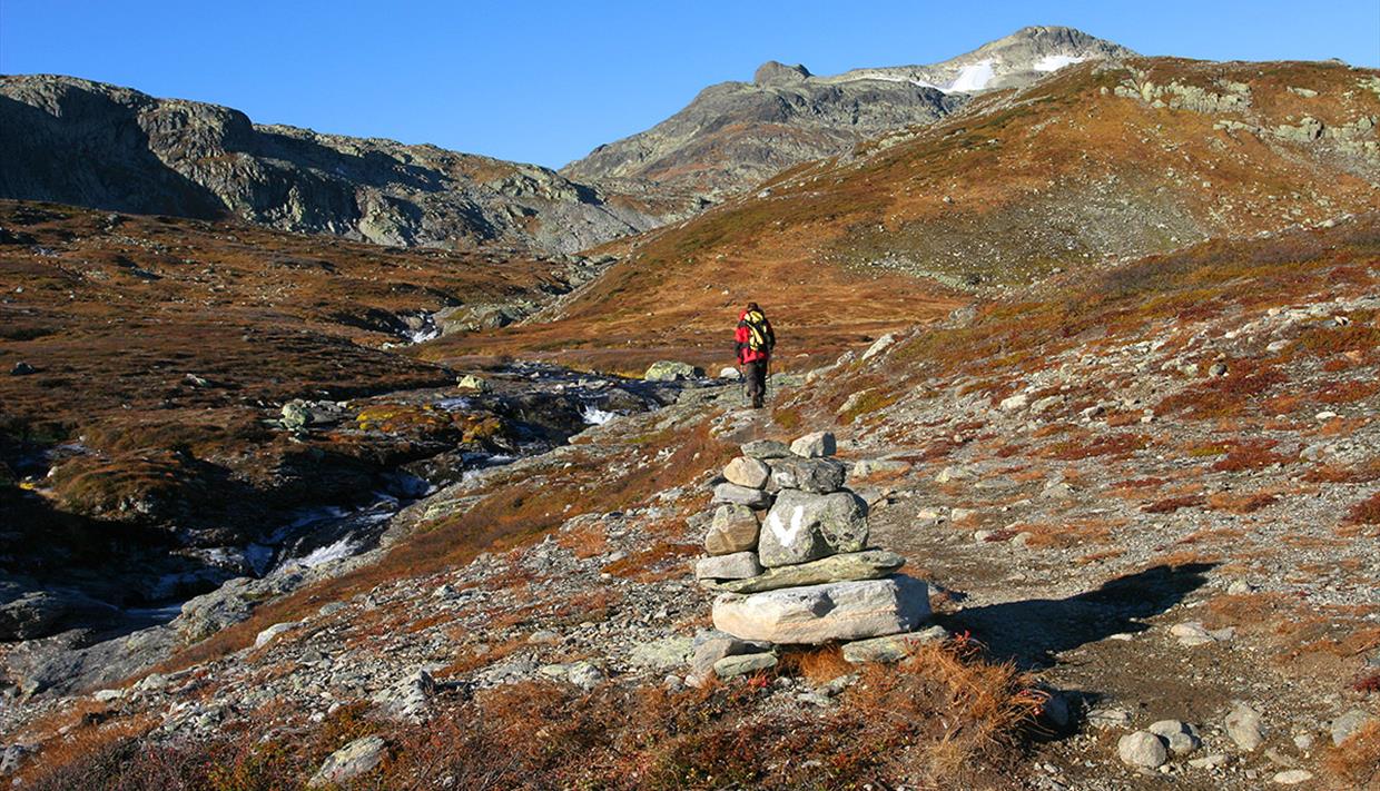
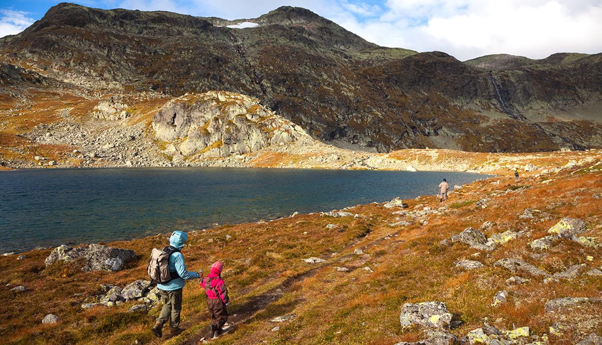
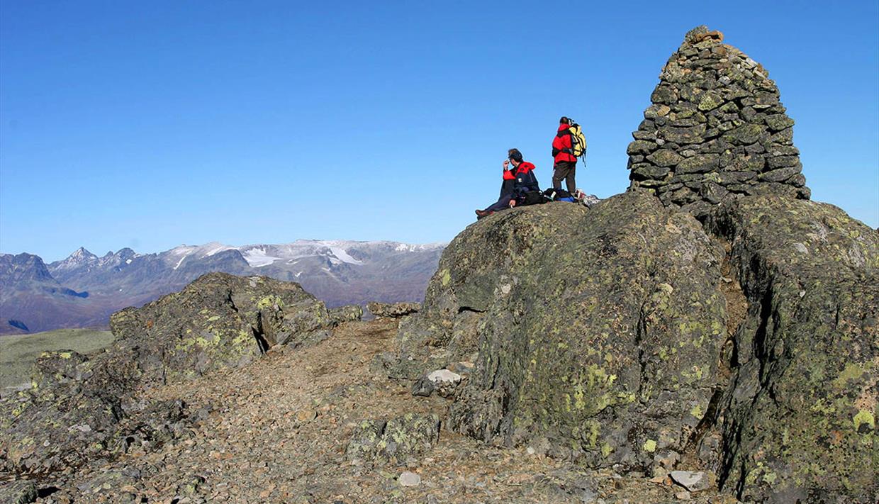
The path starts on the opposite side of the road and is marked with cairns and white V’s. It leads gently uphill to Mugnebottjernet (pond) and then climbs steeper up into a col. From here you have two options. The steeper and more demanding route (recommended uphill only) turns right, while the main route, which is still steep but less demanding, continues straight ahead for another 300 meters and then turns to the right and uphill, too. The last bit leads through rocky terrain to the summit with a stunning, highly rewarding view towards Jotunheimen and Valdres.
Equipment
Standard clothing for high mountain walks: solid hiking boots, wind- and waterproof outer layer, warm sweater, hat, mittens, daypack. No special equipment required.
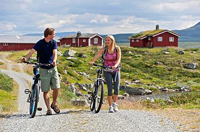
Tip: Stay overnight at Grønolen Fjellgard and take a bike to the trail head. This way you get a varied full day tour.
TripAdvisor

- Excellent3
- Very Good1
- Average0
- Poor0
- Terrible0
Recent Reviews:
- Marianno71Oslo, NorwayTrip Type:FamilyFint tur05/08/2016Vi gikk turen sammen med barna (turvante barn på 8 og 10 år). Fra parkeringplassen går man langs elva oppover en drodig dal. Vi tok første pause oppe ved vannet. Litt mer stein videre oppover, men... Read full review
- Ole SNibeTrip Type:CouplesPanoramaudsigt12/09/2016Det var den flinke dame på turistkontoret i Beitostølen der foreslog turen - hun anslog varigheden til 5 - 6 timer - omregnet til dansk pensionisttid blev det ca. 8 timer. Turen var alle... Read full review
- Kaarina46Western Finland, FinlandTrip Type:CouplesHeavy trail, but worth of effort07/07/2016The route is quite nice to walk, though it is a bit demanding. Still snow in couple of places. The views were just magnificient troughout the route. Absolutely recommend to do this. Read full review
Facilities
Duration
- 5 hours
Grading
- challenging
Nature and terrain
- mountain
Season
- august
- july
- june
- september


