Vesle Golsfjellrunden and Lauvsjøen circuit
About
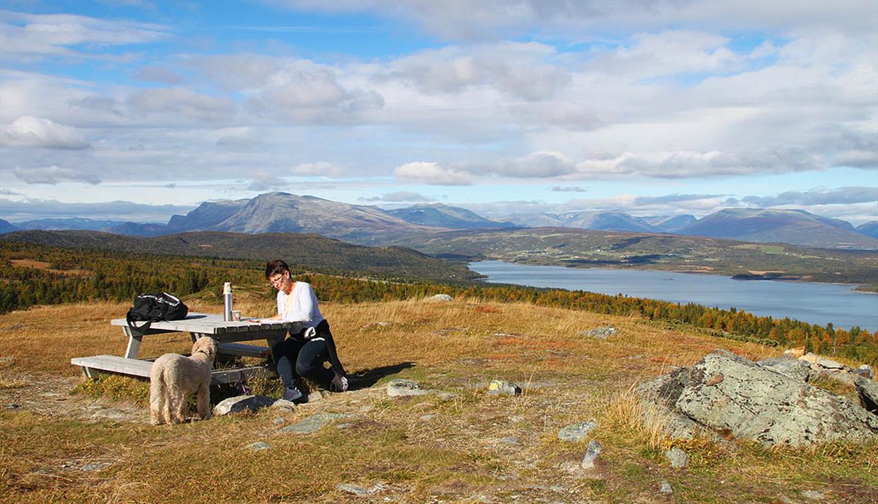
This round trip takes you up to a hilltop with a great view and along cart tracks that are fun to cycle on. Mountain farms, beautiful cultivated land, wildflowers and bird song is what you can expect on this trip. The last stretch offers a view over Lake Tisleifjorden, and you cycle in the borderland between the regions Hallingdal and Valdres.
The trip starts at Oset. Follow the road Golsfjellveien for approx. 700 m to the south and turn right towards Guriset. Here the ascend towards Appelsintreet through idyllic mountain farm landscape starts. At Appelsintreet the terrain levels out and you cross a plateau, while the road turns into a cart track. Enjoy the view towards Skogshorn, the highest mountain in Hemsedal. The ground is now more challenging and changes between path, wet parts and rocks. If your bicycle has shock absorbers, turn them on. Otherwise, or if you’re an inexperienced terrain cyclist, you may want to push the bike for a little while.
From Vesle Auenhaugen there’s a downhill run towards Lauvsjøen. Observe nature around you – maybe you are lucky to see a Northern Hawk-owl or Black Grouse along the way.
Arriving at Lauvsjøen, our recommendation is to add the 5 km circuit around this small lake to your tour. There are nice places for a rest on this round trip.
Back at Golsfjellvegen, the trip takes you north towards Golsfjell Fjellstue. New downhill runs await you here, but this time the road is better. Make a stop to take in the view over Lake Tisleifjorden and towards Valdres. Maybe your next cycling trip takes you there? Cycling along the lakeshore, you might want to check on the temperature of the water. Is it tempting to take a dip?
On the last stretch before arriving back at Oset the road turns away from the lake and climbs a bit. Soon you will see the small mountain chapel at Oset, and you will know that the trip is close to finished. If the water of lake was too cold, the indoor swimming pool at Oset won’t be.
You will find this round trip marked with the letters C and D on the cycling map for Valdres and Golsfjellet which is for sale at the hotel receptions in the area: Storefjell Resort Hotel, Kamben Høyfjellshotell, Golsfjell Fjellstue and Oset Fjellhotell.
We wish you a nice trip!
Distance: approx. 25 km
Terrain: Approx. 18 km of good gravel roads and 7 km of cart track and path
Difficulty: Medium because of cart track/trail. Not suitable for trailer because of cart track/trail
Highest elevation: approx. 1000 m.a.s.l. at Vesle Auenhaugen


