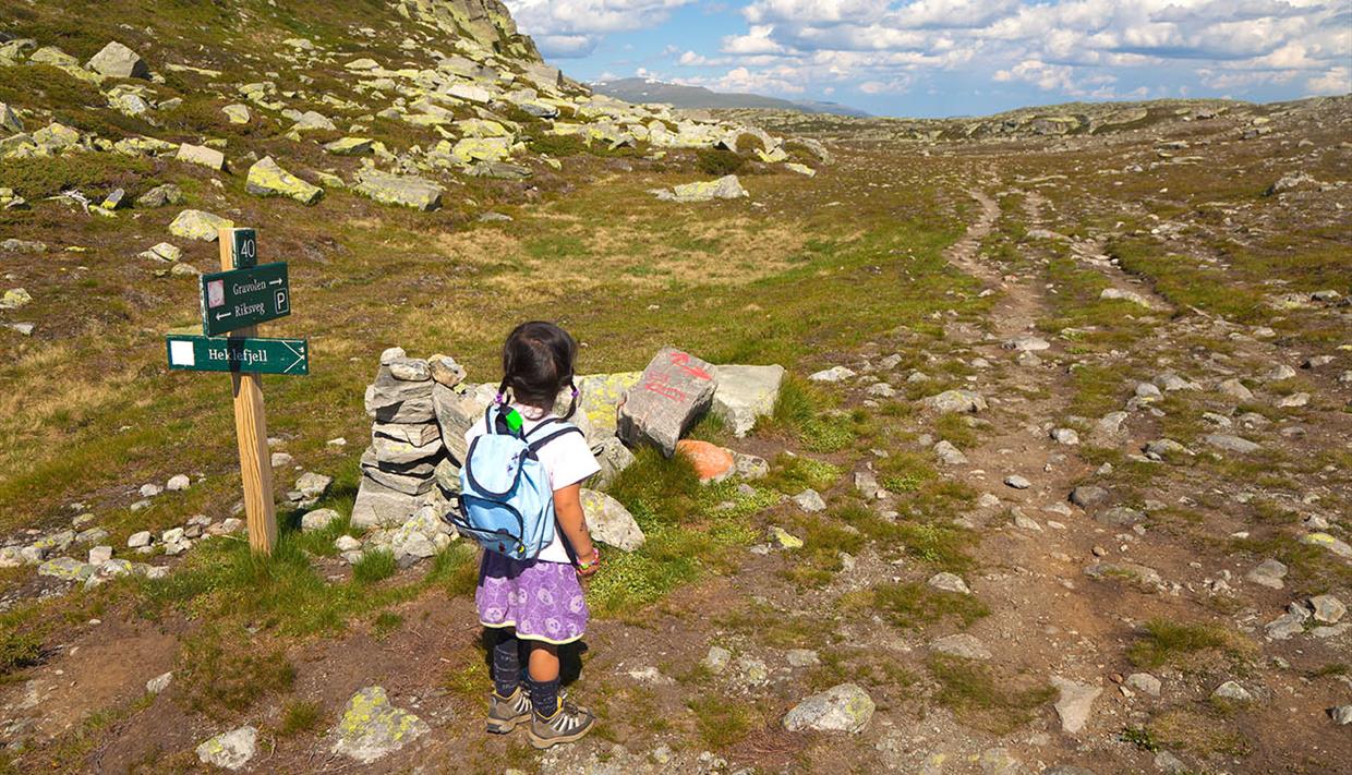
Gravolsstien from Båtskaret to Beitostølen
About
The Gravolsstien trail from Båtskaret to Beitostølen - a hike in our green mobility concept
Take the bus from Beitostølen to Båtskaret (summer service; departures are found on www.nor-way.no and www.entur.no).
The trail starts right beside the small red hut at Båtskaret and follows the hill side to the right. After approx. 100 meters in elevation gain it flattens and shortly after the trail splits. 10 minutes to the right lies the viewpoint on Heklefjellet, but the Gravolsstien trail continues straight ahead to the summit and Gravolskampen. It is now slightly undulating, can be a bit wet at some passages and climbs very steadily to the summit from where you can enjoy a beautiful view back towards Jotunheimen and straight ahead over Lake Vinstre.
Keep straight over the summit, descending on the other side towards the small lake Gravolstjednet, around it and into the birch forest towards the next lake, Olevatnet. Here you cross a stream on rocks and some planks and ascend up to the southeastern foot of the small mountain Grønekinnkampen. Here you reach the local trail network of Beitostølen and follow the signs towards Beitostølen to the top station of the ski lift. Within the operating hours of the lift you can catch a ride down, or you descend on the trail down the slope to the town centre.
Distance: approx. 11,5 km
Duration: approx. 4-5 hours
Elevation gain: approx. 350 m up and 600 m down


