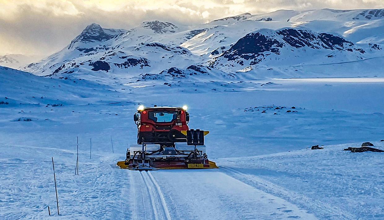
Cross-country skiing tour Bygdin-Beitostølen via Gravolstjednet
About
Cross-country skiing tour in groomed tracks from the winter holidays to Easter. This tour is recommended in combination with the transport services between Beitostølen and Bygdin, either with Valdresekspressen (choose Beitostølen, Øystre Slidre, Oppland and Bygdin, Vang, Innlandet as departure and destination points) or Bygdin Fjellhotel's own transport service.
Tour details:
From Bygdin via Vinstre and Red 1 / Blue 1 to the top station of the ski lift at the alpine skiing centre at Beitostølen.
Distance: 13.2 km
Elevation difference: 240 m up and 266 m down
Estimated duration: Approx. 2.5 hours under good track conditions without breaks
Directions and tour description
Take the bus Valdresekspressen from Beitostølen (bus stop at the bottom station of the ski lift in the town centre) to Bygdin. At Bygdin Høifieldshotel they serve really good waffles and lunch dishes in beautiful mountain nature. After a stop here you can start your skiing journey back to Beitostølen.
The ski tour starts along track Red 10 right outside the door. It crosses over the road and then towards the southern shoreline of Lake Vinstre. After 2.7 km you reach the crossing with Red 2. You can follow it in either direction to get to Beitostølen, but here we describe the eastern route. Therefore, keep straight ahead/left along the southwestern shore of Lake Vinstre for 5 km. Now you reach the crossing with track Red 1. Turn right here, and follow Red 1 south past Gravolstjednet and the western end of Lake Olevatnet. At Olekinn you find Fjellbu, a small warming hut where you can make a fire to warm yourself and maybe eat a bite, if you have brought packed lunch. Now there's a short run down to Oladalen valley and after that a quite steep ascend onto the Garlimyra flats. In two crossings with Blue 3 (which leads around the mountain Grønekinnkampen), keep following Red 1. 700 m after the sesond crossing with Blue 3 you reach Blue 1. Keep straight/right and follow Blue 1 on the southern side of the Knausehøgdene ridge to the top station of the ski lift (Beitostølen alpine centre). Catch a ride downhill or carefully negotiate the alpins slope with your cross-country skis.
Alternative return to Beitostølen south
From the top station of the alpine skiing slope, continue in the track Blue 1 until the crossing with Red 1. Turn right here and after 700 m, right again. The downhill hill run to the Kiwi supermarked and Beitostølen Hytter and Camping is quite steep and at places difficult to see far ahead. Be careful here and don't ski too fast.
PS: A full day out!
For a really long tour on a really beautiful day, you can choose to keep straight in the first crossing with Red 1 at the southern shore of Lake Vinstre and follow Red 1 clockwise along the eastern route, around Lake Olevatnet, back to Beitostølen. It contains a longer but not too steep climb and then a very steep downhill run to Ole. Be very careful here in icy conditions. At Olebu you can buy refreshments in the weekends and holidays.
For the last part, from the crossing in Red 1 at Melbustølen, you can choose between three alternatives:
1) (Our favorite) Turn right and ascend into the saddle north of Synberget where you meet Blue 1. Turn left and enjoy a longer downhill run with a great view until you end up in the alpine slope. Carefully negotiate the alpins slope with your cross-country skis.
2) Turn left and keep following Red 1, as mentioned above, with its downhill run, but continue straight ahead in the next crossing until you get to the alpine slope. Carefully negotiate the alpine slope with your cross-country skis.
3) As in 2) but turn left in the last crossing and finish downhill towards Kiwi and Beitostølen Hytter and Camping.
Regardless of the chosen finish alternative (they are all about equally long), you end up with approx. 19 km from Bygdin, approx. 350 m ascends and 400 m downhill runs.
This tour will provide great vistas in phantastic high mountain terrain without being too difficult, but it can be exposed for strong winds. Carry a day pack with extra clothing, a warm beverage in a thermos bottle and extra food/chocolate in case the weather turns or the conditions are tough and you use more time than estimated.
We suggest that you purchase the cross-country skiing map for Beitostølen that is available at the tourist office and sports stores.
The grooming status can be checked in real time on www.skisporet.no. Also, remember to check the weather forecast before you head out!


